Map
| Hotels
| Sights
| Wellness, Spa
| Travel Services
| Business Travel
| Programs
in Nemesdéd:
Hotel
|
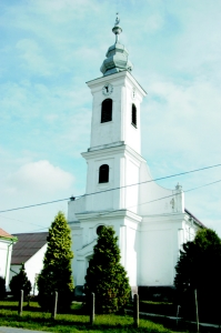
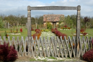
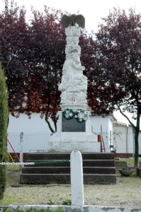
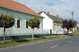
It is situated near the border of county Zala, along main road No. 61, a few km from it. It was mentioned in records in the Middle Ages under the name Dyd, Felseded. According to the census in 1715 its inhabitants were noblemen. In the 18th century it was owned by the Stephaics family, who built the manor-house. The Calvinist church was built in 1826. After creating districts in the region in the 1970s, it became the administrative centre of Varászló, which is almost built together with the village. Pictures of Nemesdéd
|
Nemesdéd map nagyítása >>
|
|
|
Hungary - Nemesdéd |
|
|
|
||
|
Friday, 18. April 2025. - 20:59:19 |
||


